All posts tagged "geology"
Industry
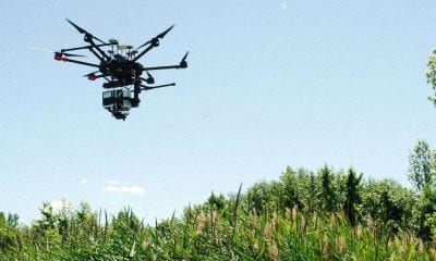
Researchers Capture Canada’s Rich Biodiversity with Help of Drones
August 14, 2018A group of researchers from Canada are taking flight with drones to discover the riches of...
LiDAR
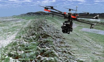
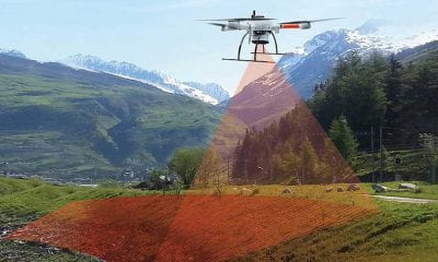
Researchers Map the San Andres Fault Using Drones and LiDAR
June 21, 2018Understanding the San Andreas fault is of paramount concern in earthquake-prone southern California, which experiences frequent...
Drone Hive
What is LiDAR and Why is it Important for Drones?
June 12, 2018The Advanced Aerial Technology That Is Paving the Way for 3D Mapping, Self-Driving Cars and More...
LiDAR
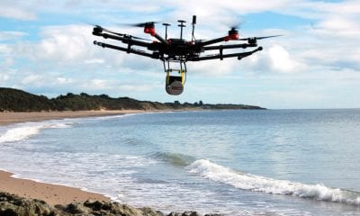
Drones and LiDAR: Monitoring the Mediterranean Coast
March 16, 2018On the Mediterranean coast, where the shoreline is being continuously reshaped by the complex interactions of...
LiDAR
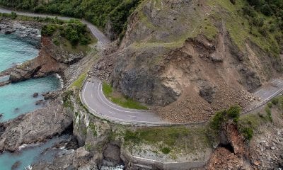
Drones and LIDAR to Evaluate New Zealand’s Landslide Risk
March 14, 2018Experts will investigate New Zealand’s landslide risk in a five-year study which is estimated at a...

