Construction & Mining
Drones in Geosciences: Going Beyond Aerial Photography
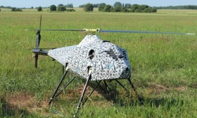
Over the past decade, unmanned aerial vehicles (UAVs) also known as drones, have become the go-to tools for acquiring spatial data which supports various geoscientific analyses. Even though their most common applications are associated with acquiring aerial images and processing them using different methods to make maps, a recent discovery opened new opportunities for UAVs in the field of geosciences.
UAVs Could Carry Sensors that Would Measure the Earth’s Subsurface
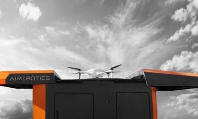
Knowing that modern UAVs have longer endurance than their predecessors and therefore a heavier payload, they can benefit from sensors being hung under them – which will make use of drone-based mapping but also employ sensors that can measure the Earth’s subsurface and allow geo-scientists to observe the surface, hydrosphere or troposphere in full detail
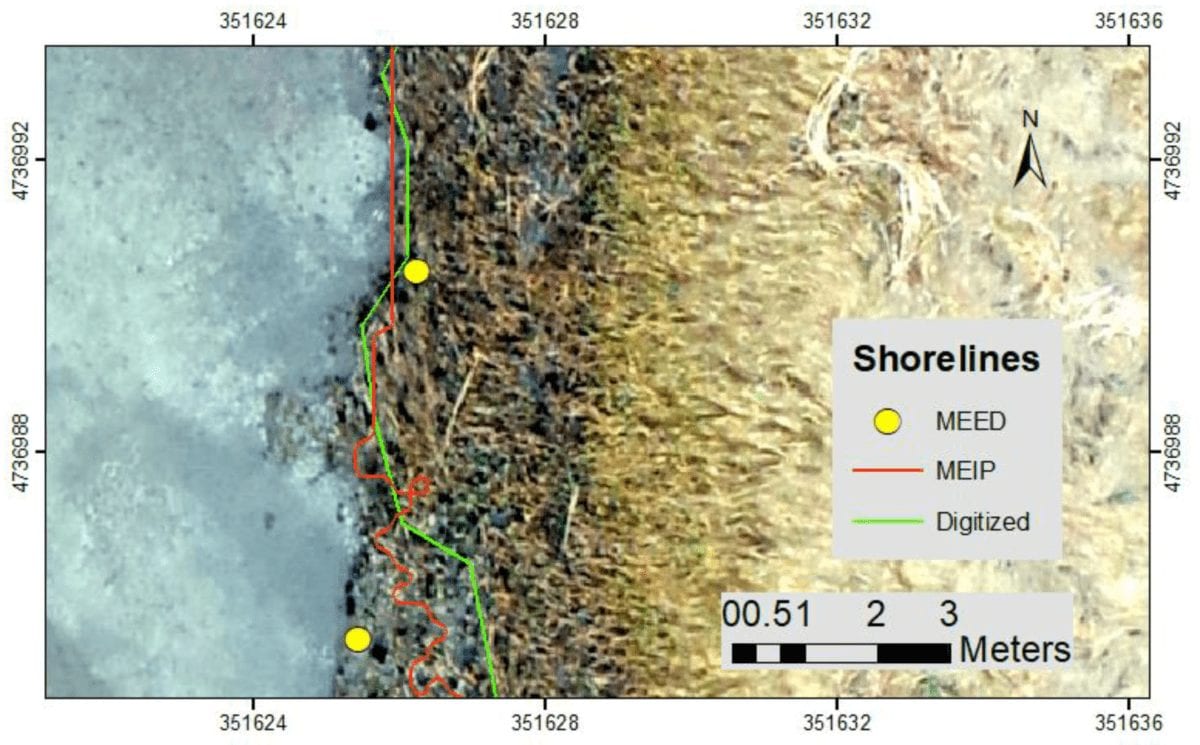
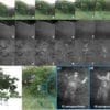
What’s known so far is that drones are used as ‘recorders’ of aerial imagery in order to map the Earth in many different locations. However, a geoscientific application of UAVs can use aerial imagery to actually reconstruct the Earth’s elevations through digital surface models – and reconstruct the land cover through generating orthophotos.
Both of the possibilities are produced by the structure-from-motion (SfM) algorithm which generates sparse and dense point clouds on a basis of visible-light or near-infrared aerial images. The increase in the quality of what these sensors monitor is actually powered by the use of ground control points and real-time kinematic technology, which leads to reproducibility and repeatability of multi-temporal spatial data.
Mapping Ground, Underground and Even Underwater
As a result of this, UAVs can definitely become suitable for detecting any changes in the Earth’s surface – and can map the grounds – helping environmental geophysicists everywhere around the world.
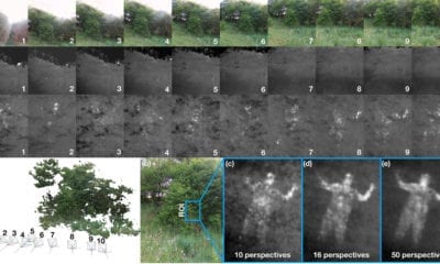
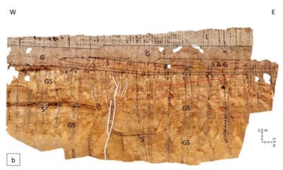
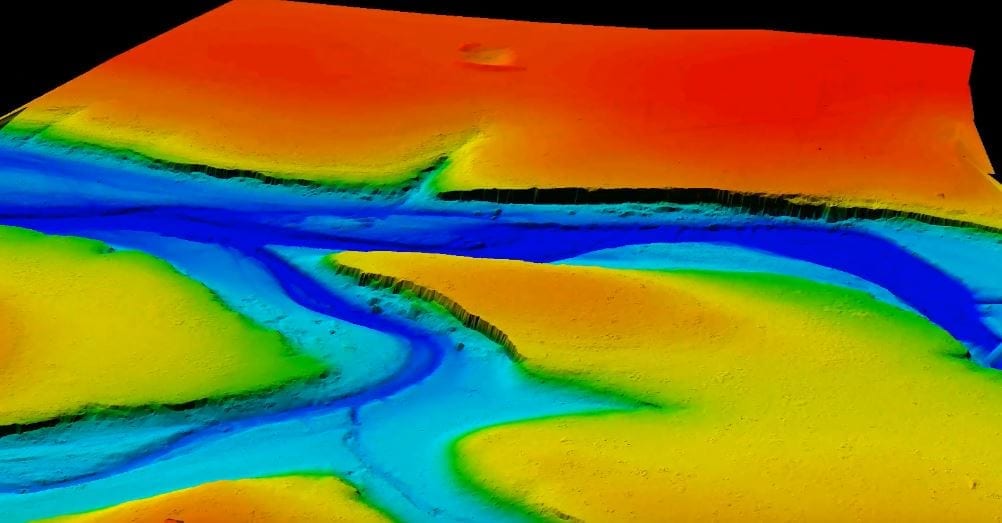
On top of this, there are many other possibilities. Underground and underwater surveys, for example, can be carried out by the UAV-borne ground penetrating radar, with LiDAR sensors or through drone-mounted magnetometers.
Most importantly, the UAV-supported determination of the dynamics of fluvial forms, may enhance or validate results obtained using the hydrogeophysical methods. UAVs can also contribute to the geophysics of snow and estimate snow extent, classifying between snow-free and snow-covered terrains.
The Advances in the Field of UAV Application in Geosciences to Continue
As we can see from everything mentioned so far, unmanned aerial vehicles (UAVs) have many application in geosciences. This topical issue represents the recent advancements and their possibility to be used as on-board cameras and be equipped with sensors, aiding the field of data processing and providing the geoscientists with helpful data they can work with.
Future students and practitioners will likely scratch the surface of even more possibilities in the field of UAV application in geosciences and Earth sciences, examining a wide range of problems solved with the support offered by drones. From monitoring of surfaces and subsurfaces of terrains as well as actually investigating the phenomena acting in the hydrosphere and troposphere, drones could gain a big momentum in this field of sciences.
Citation: Applications of Unmanned Aerial Vehicles in Geosciences: Introduction, Niedzielski, T. Pure Appl. Geophys. (2018). https://doi.org/10.1007/s00024-018-1992-9